Photo: Ernesto J. Torres, Casa 12
The Colonias of Puerto Escondido
Strictly speaking, a “colonia” is any residential neighborhood that isn’t a “fraccionamiento” or subdivision. Fraccionamientos must have streets, power lines and water mains that connect to each property before the lots can be sold. Bacocho is a fraccionamiento; Lázaro Cárdenas and Brisas de Zicatela are colonias. But since Puerto is a new city, there are neighborhoods that are neither fish nor fowl, so it gets a little confusing.
In this article we will visit the colonias that were established after the Federal expropriation of Puerto Escondido in 1970. The expropriated land, which goes from the coast - including Bacocho, Rinconada and Carrizalillo - to Calle 9ª Norte on the east side of Avenida Oaxaca, is all private property. There is a clear title (escritura pública) for every lot in the expropriated zone. The part of Puerto not included in the expropriated zone belongs to the Bienes Comunales (communal land) of either San Pedro Mixtepec or Santa María Colotepec. Lots on communal land have actas de posesión instead of clear titles.
Colonia Benito Juarez (not to be confused with Sector Juárez where the market is) is Puerto’s oldest colonia. It was established in 1970 by the Bienes Comunales of San Pedro Mixtepec and runs from the Secundaria Técnica 86 on calle 9a Norte to Colonia La Paz, the neighborhood across the street from the tourist bus station.
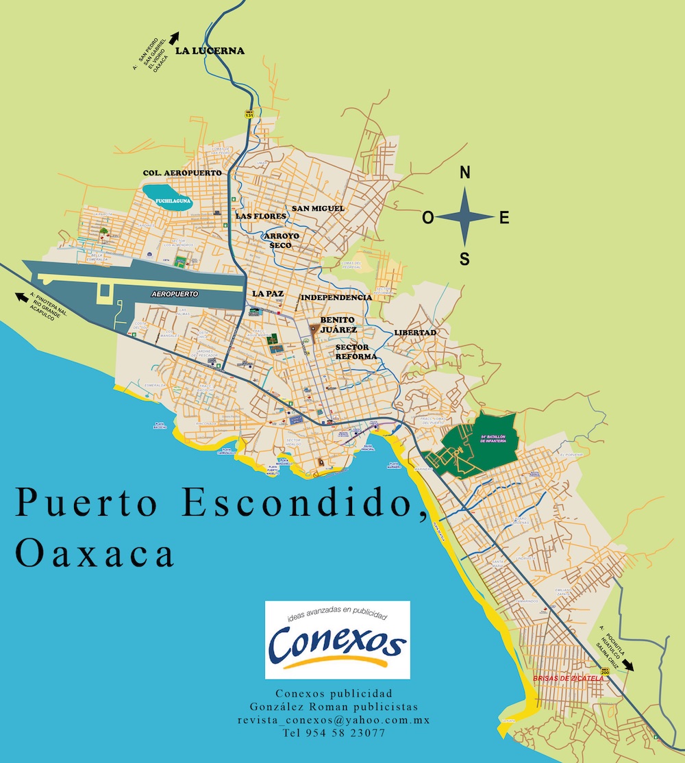
In 1978, anticipating the growth of Puerto, the Bienes Comunales of San Pedro Mixtepec created Colonia Aeropuerto by dividing the 10 hectares of land north of the airport into lots for residential use. This area, also known as Fuchilaguna (Yucky Lagoon) for its large swamp, is home to around 4,500 people, making it Puerto’s largest community.
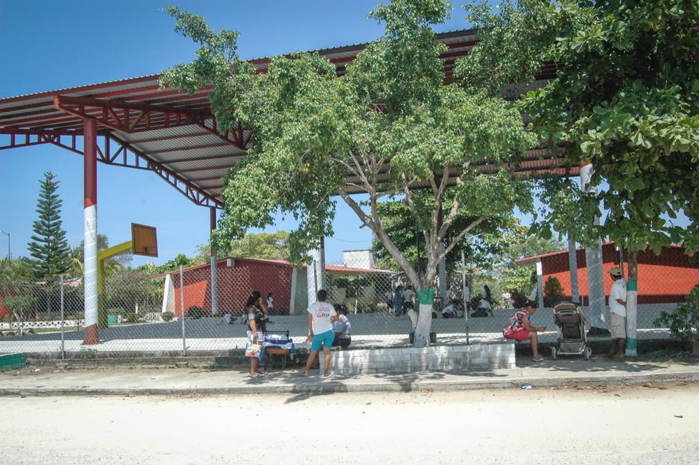
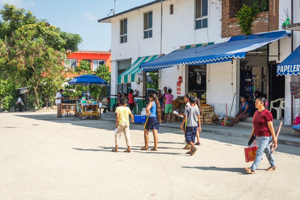
With its paved streets laid out in a grid and its market and churches, two pre-schools, two primary schools, and two secondary schools, as well as a Centro de Salud, Colonia Aeropuerto has the feel of a small town. The lots measure 10 x 20 meters and simple dwellings mix with stately two story houses. As almost everywhere in Puerto, there are more vacant lots than there are houses, but Colonia Aeropuerto leads in the number of housing permits issued every year. (Of the 350 permits issued in 2014, Sector Reforma ranked second, Bacocho and Rinconada were third, and Colonia San Miguel fourth.)
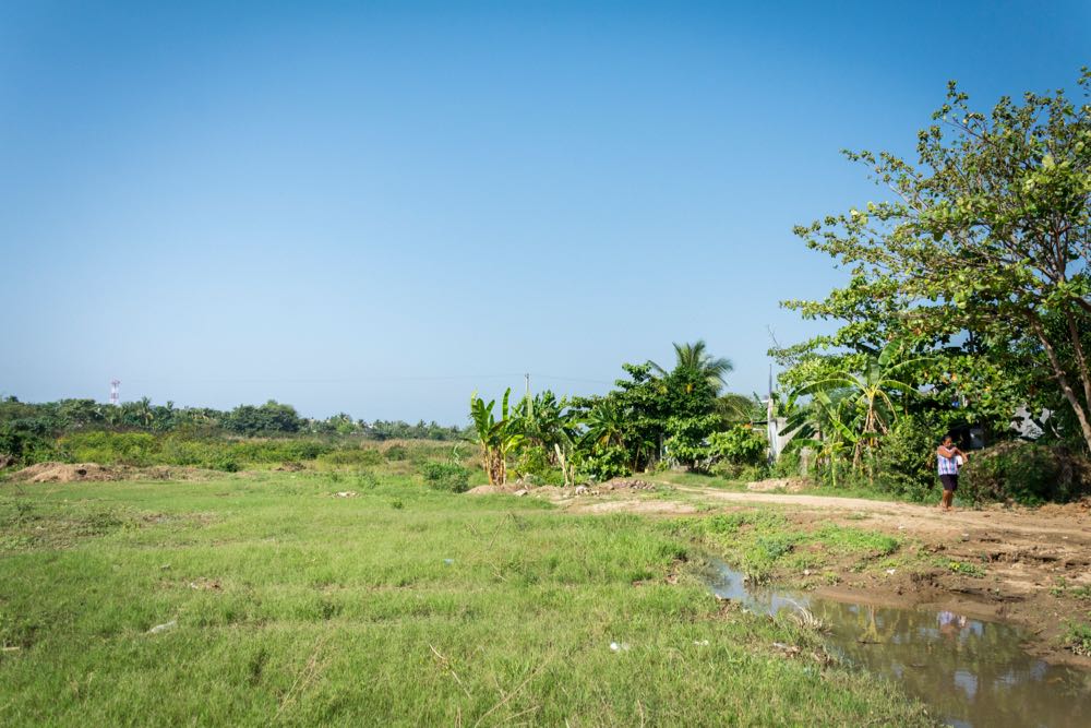
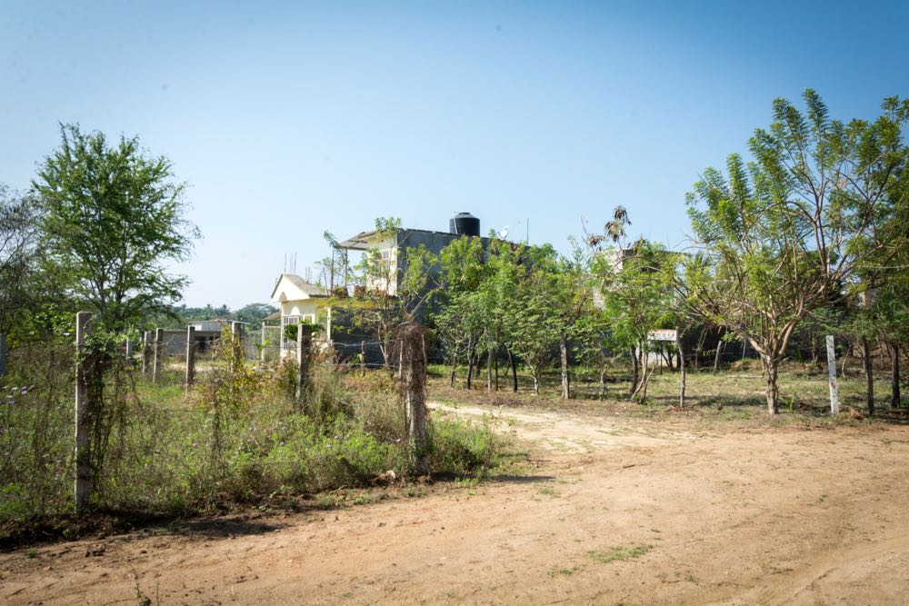
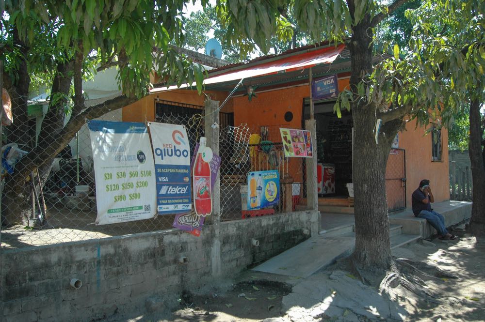
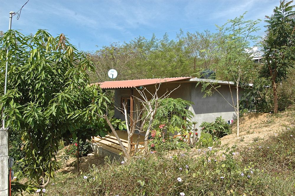
Although the Bienes Comunales created the colonia, it did not provide any infrastructure for it - no roads, no water, no sewage, no electricity. All of that came slowly, street by street with the residents providing the labor and the money, with only occasional help, as in the case of the sewage system, from the government. Even now lots are sold (for 200,000 pesos) and houses built on dirt roads with no water or electricity. The main problem however is the sewage system – which doesn’t quite connect to the sewage treatment plant at Punta Colorada – and flooded streets during the rainy season as the Fuchi lagoon expands its banks.
Crossing to the other side of the highway to Oaxaca, you reach the colonias of Las Flores, La Paz and San Miguel. There too are schools and churches and village life. Every community with its own identity and yet all so new. Most of the people who live in the colonias have their roots in other parts of the state like Miahuatlán and Sola de Vega.
As you head back southward, you find yourself in the rural community of Arroyo Seco. Then you are in Sector Reforma C, behind the municipal cemetery. After numerous trips, I still get lost trying to get from one colonia to another. One moment you are in Sector Reforma D (which does not border the other Sector Reformas), then you are in Colonia Independencia, but you can’t find the street you took photos on three years ago. But finally, heading south, following the Regadío River, you find yourself in Colonia Libertad, and then before you know it you are on the coastal highway next to the Hotel Caracol.
Google Maps is of no help. Colonia Aeropuerto doesn’t exist on the maps, although its streets do. What it names are the administrative districts inside the colonia such as Almendros, Jardines and Sector 2000. You will find La Lucerna on Google Maps, but it puts it on the west side of Highway 131, although its famous garbage dump, the shooting range and most of its territory is on the east side of the highway. Not surprisingly, most tourist maps of Puerto are derived from Google Maps.
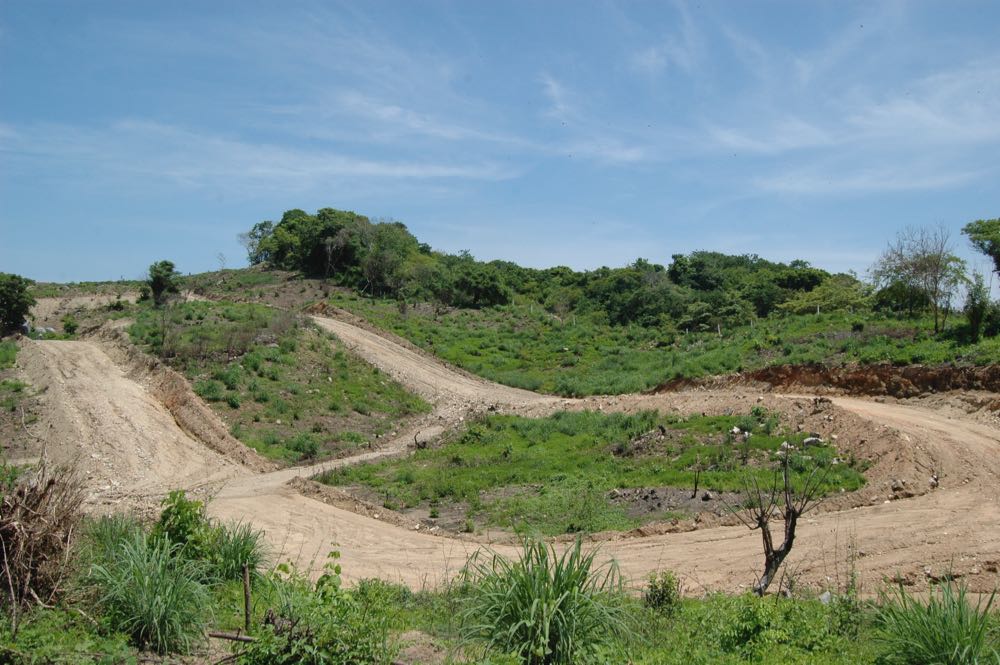
La Lucerna is the northern limit of Puerto Escondido. This area has been lotified by Inmobiliaría Cervantes. Aldo Cervantes explained to us, La Lucerna, like most areas now rezoned for residential use, had previously been used for farming and ranching. The 10 x 20-meter lots, with underground water and electricity connections for each property, sell for $100,000 pesos ($500 per square meter). Although the colonia is only a few years old, people are building houses here, most notable were the ones built on a hillside by the Oaxaca/Puerto Escondido branch of Habitat for Humanity.
Since the new colonias are on communal land, the buyers cannot get bank loans or government funding. What developers like Cervantes offer are no down payment, 3-year contracts. The interest of 1% a month is on the remaining balance, so the buyer can clear the debt early without paying extra interest. If you miss three payments, the contract is cancelled and the lot resold. For that reason, Cervantes does not allow any construction until all payments are made. Aldo estimates that 20% of the buyers default.
Real estate in Puerto, as one is always being reminded by the ads, is as much about investment as it is about building homes. But it is also about cutting down trees to clear the land in order to sell these lots. Puerto has no green zone and we can only speculate about the environmental effect of trading in land as if it were just another commodity.
